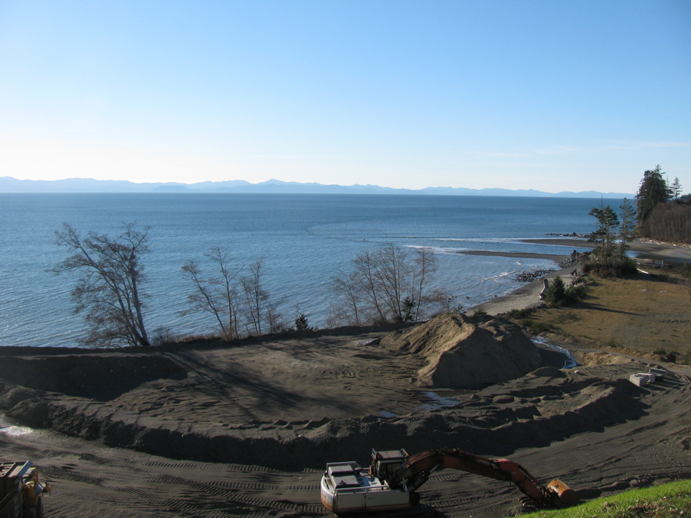
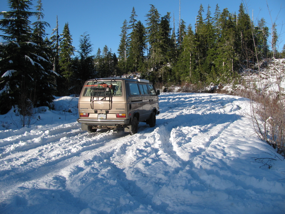
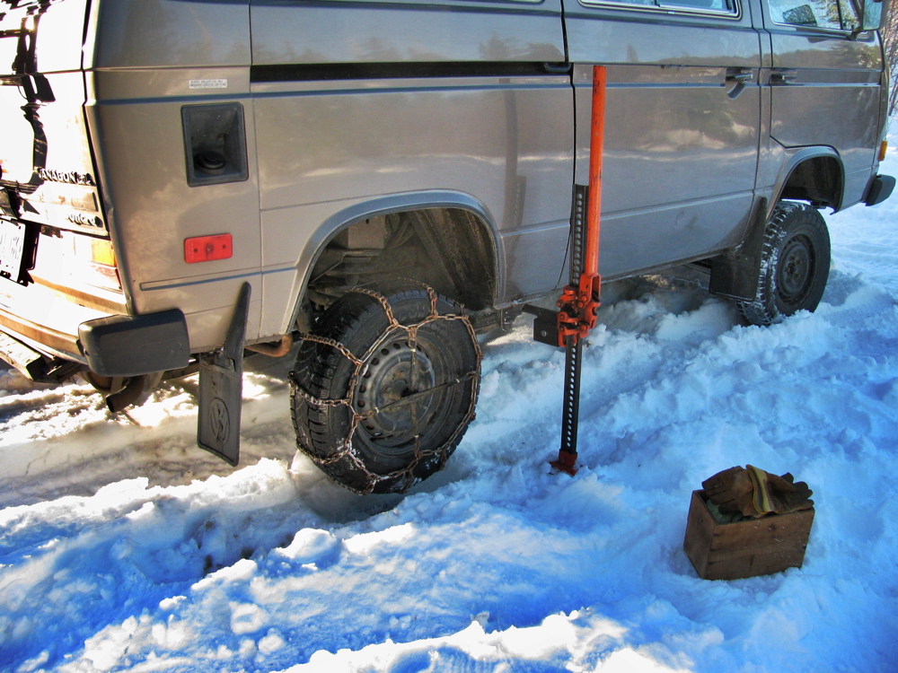
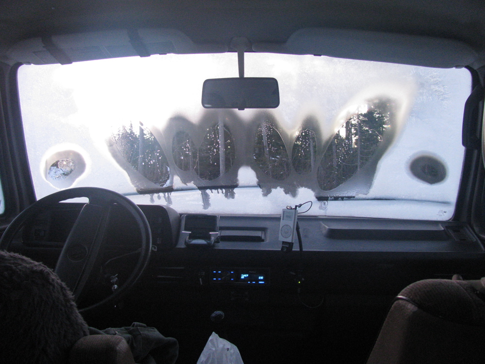
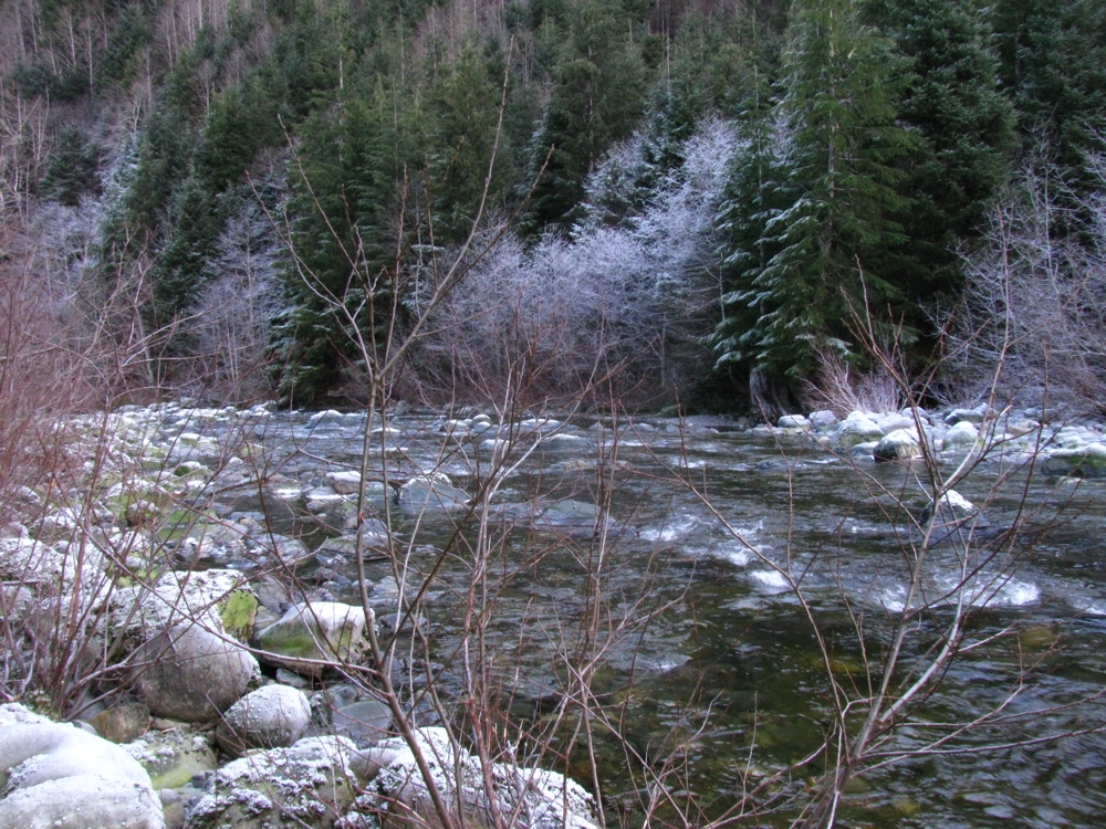
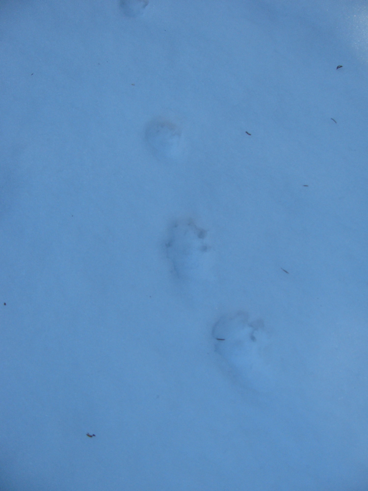
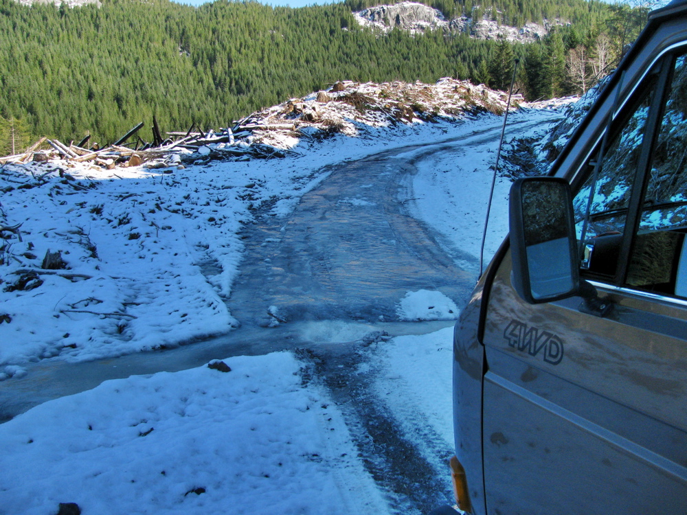
Just back from an over night trip around the south tip of Vancouver Island. Starting point of the slideshow is the one overlooking a gravel pit, tiny dot in the ocean is an optimistic surfer. Left the paved road at China Beach day use area and then headed up northish towards San Juan ridge. The snow is old and hard, and icy underneath. Spent the night up there (48.47573 N 124.06610 W), the jury rigged platinum catalyst heater helped to keep van interior above zero. Next day, defrost inside of windscreen and then back down to paved road and on westward to Loss Creek. Up the road alongside the creek/river, getting more brush scratches on the van, found someone’s hunting camp and then 100 metres further the road is out. So back out to pavement, on past Port Renfrew and on to road heading to Cowichan Lake. I took a look up Granite main logging road as far as I could go, saw shotgun shells, got stuck in the snow, saw wolf tracks, and came back down to paved. Further along the road went up logging spur mentioned in the April trip report. The road too steep and slippery to be able to get to where we camped before, came across a pretty tough obstacle, lots of ice. Back then to the main road and on to Lake Cowichan then back down the island highway to home.
End of December quick trip


- Leave a comment
